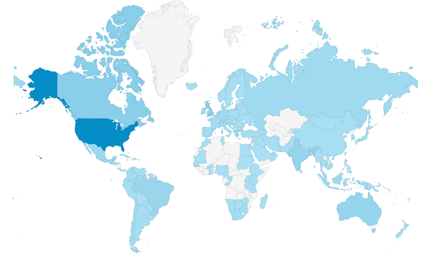
Customer Demographics
DroneMapper was conceived in 2011 when our photogrammetry suite was written using a combination of open source and custom developed code. Since that time we have implemented cloud processing services using our Linux version, provide licensed Windows desktop software, conduct end-to-end mapping services for our clients and produce mapping application specific solutions for visible, multi-spectral and thermal infrared imagery collections. Markets served include archaeology, precision agriculture, mining, oil and gas, construction, general situational awareness and surveying among others. If you have a particularly difficult application and need timely support don't hesitate to call or email us.
-The DroneMapper Team