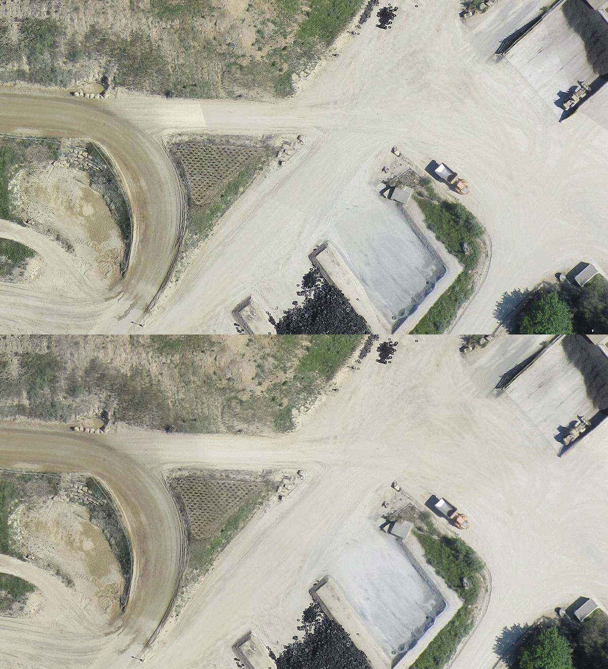
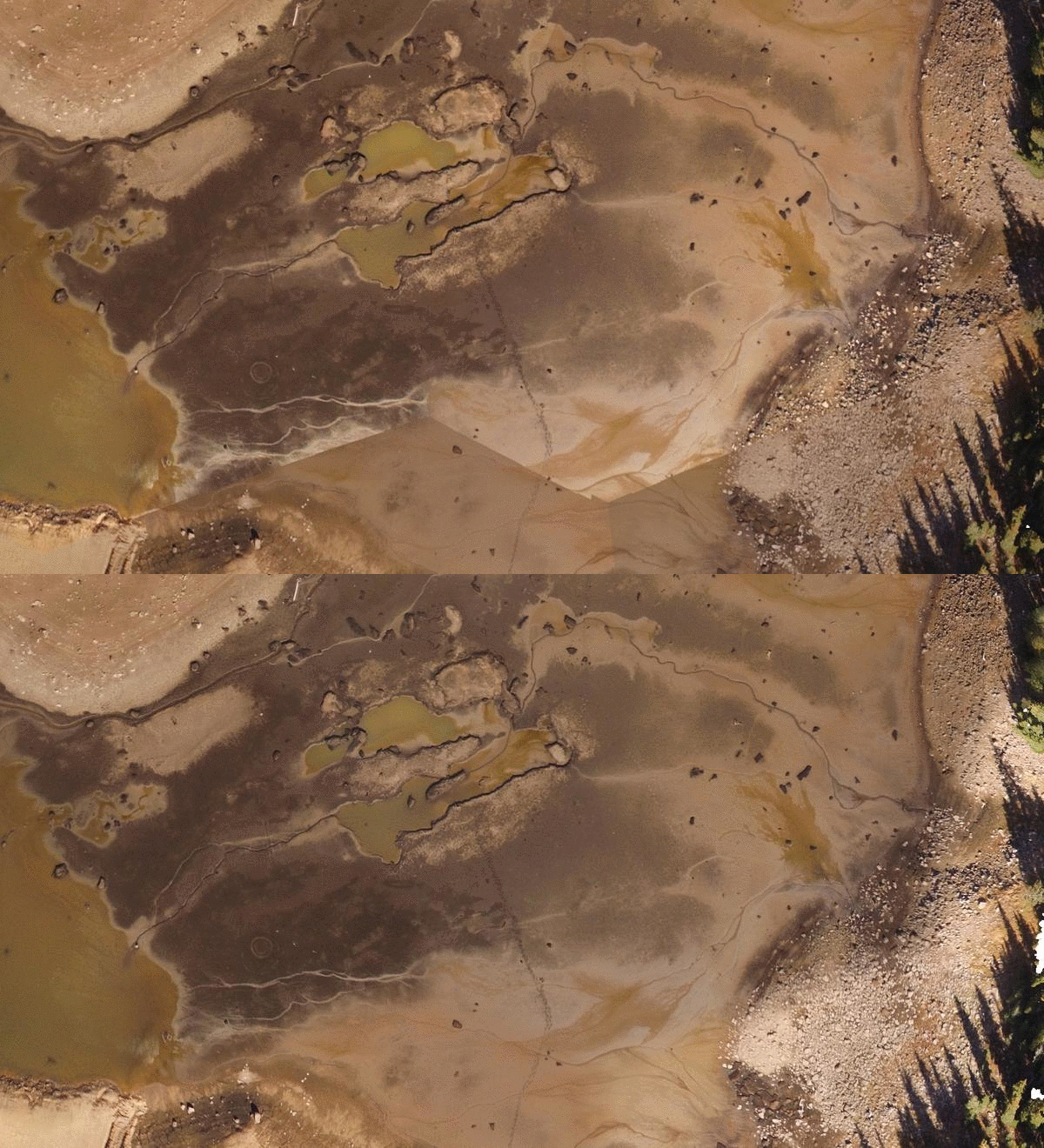
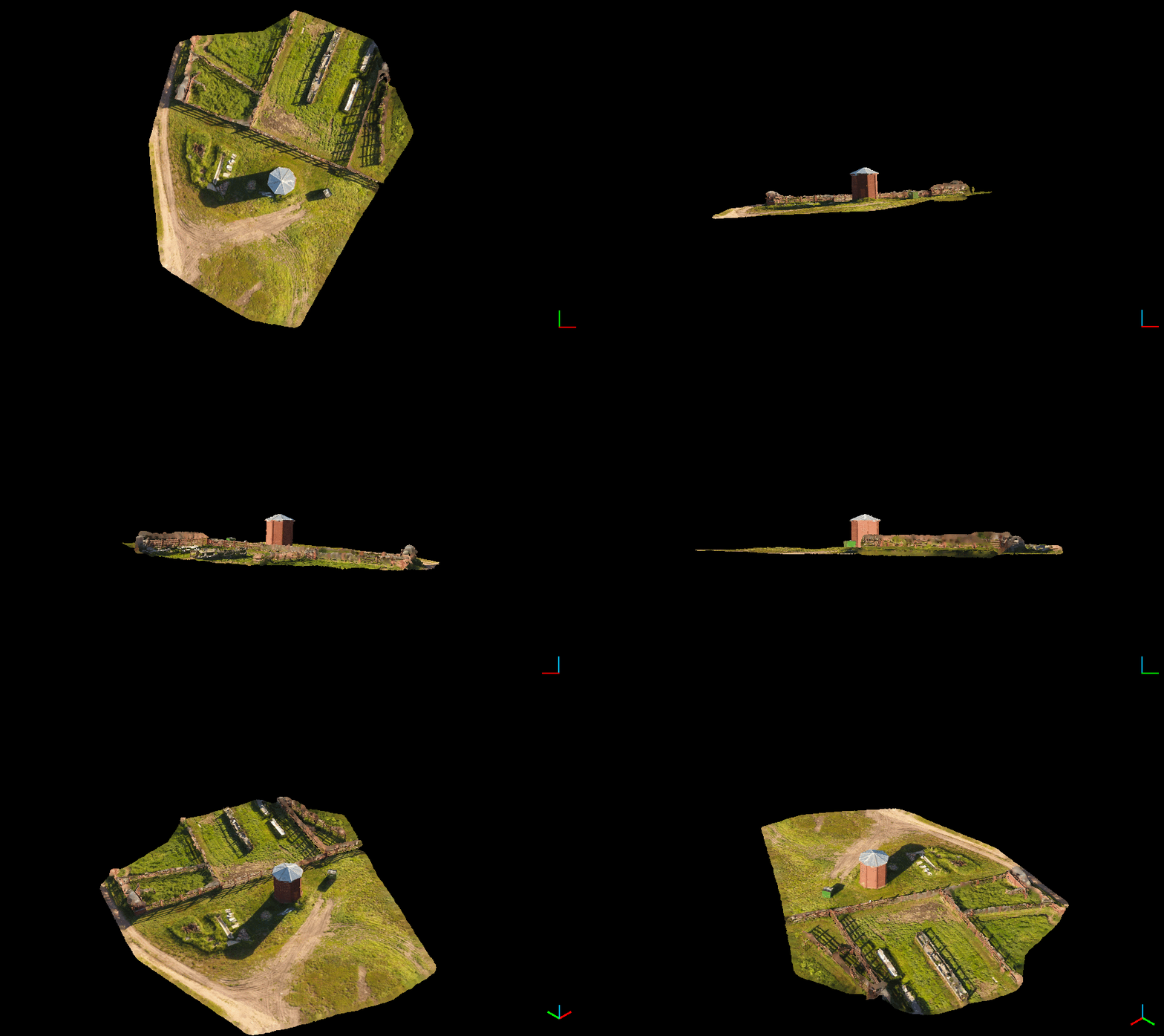
KEY BENEFITS:
- Eliminate downtime associated with cloud processing data transfers,
- Control your DEM, ortho and point cloud processing time using selectable resolution,
- Utilize the ortho preview function at the job site to verify imagery collection quality,
- Generate high accuracy maps with control and built in GCP/imagery association tool,
- Modest computing resources (4 core or more CPU, 16 GB RAM, Windows 10 OS) required to support the application.
- Perpetual license - $999 (no other fees ever),
- Month-to-month license - $100/month (3 month minimum),
- Full hands on training and support (4 hours) - $500
- DroneMapper also provides end-to-end support including: mission planning and execution, camera set up, control placement and generation of application specific products (contours, volumetrics, planimetrics, DTMs, etc.) using GIS software (Global Mapper).
- New Orthomosaic functionality, multi-threading (BETA)
- Orthomosaic seamline feathering (BETA) FULL CHANGELOG


