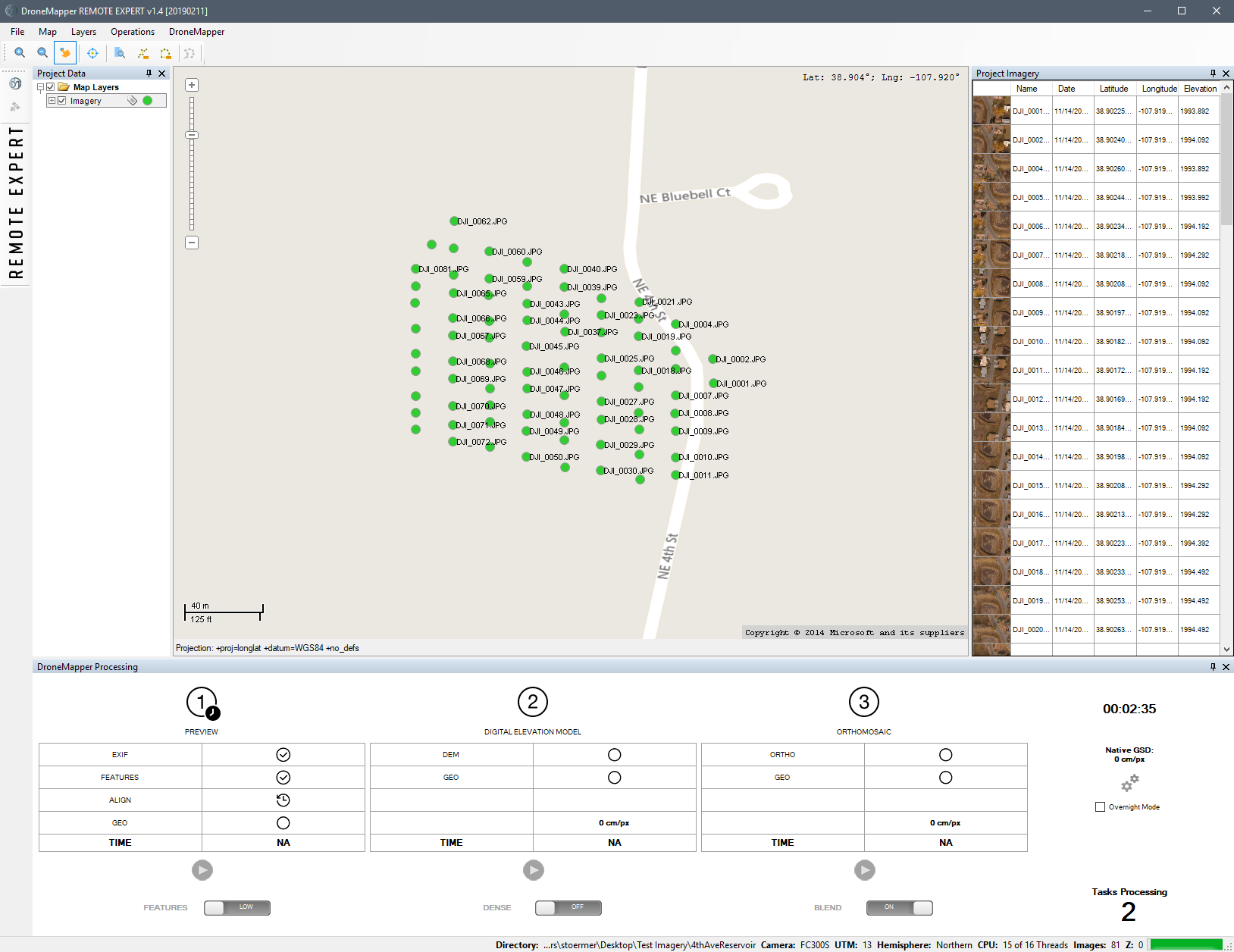
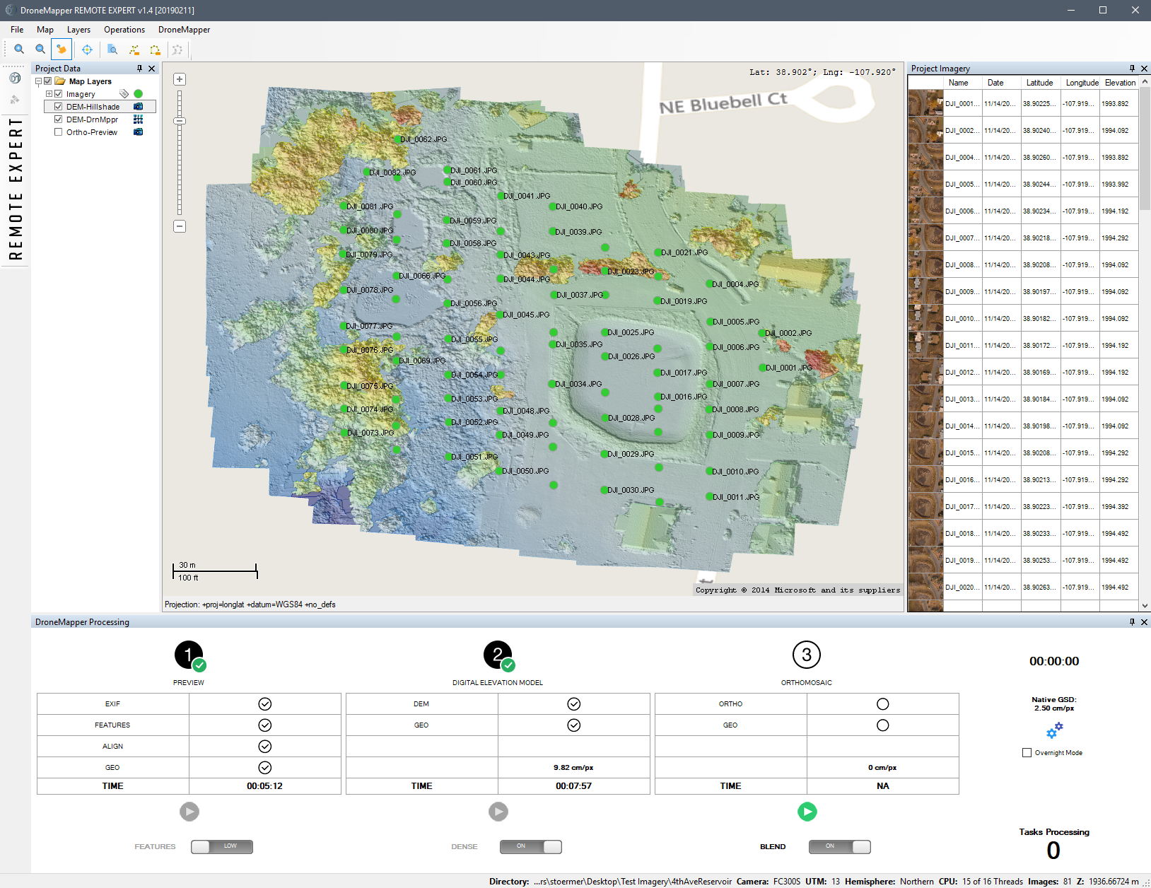
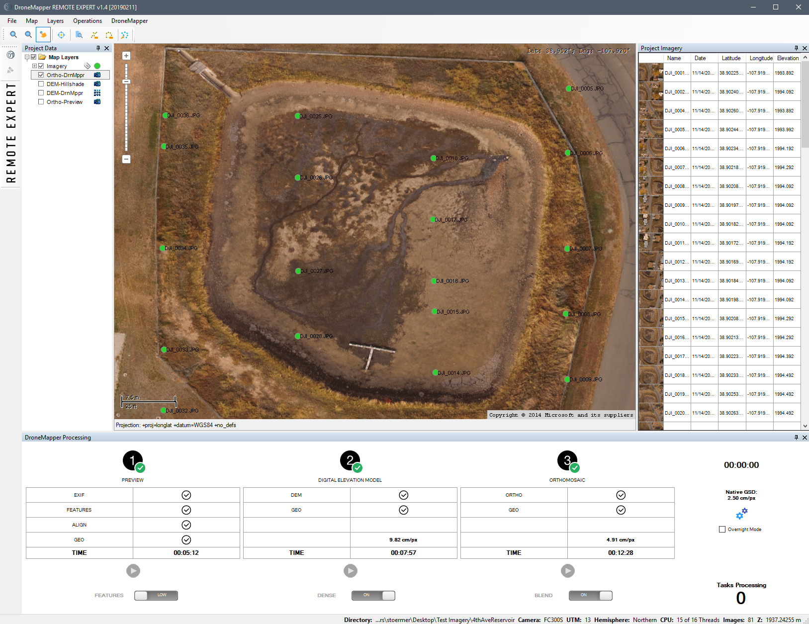
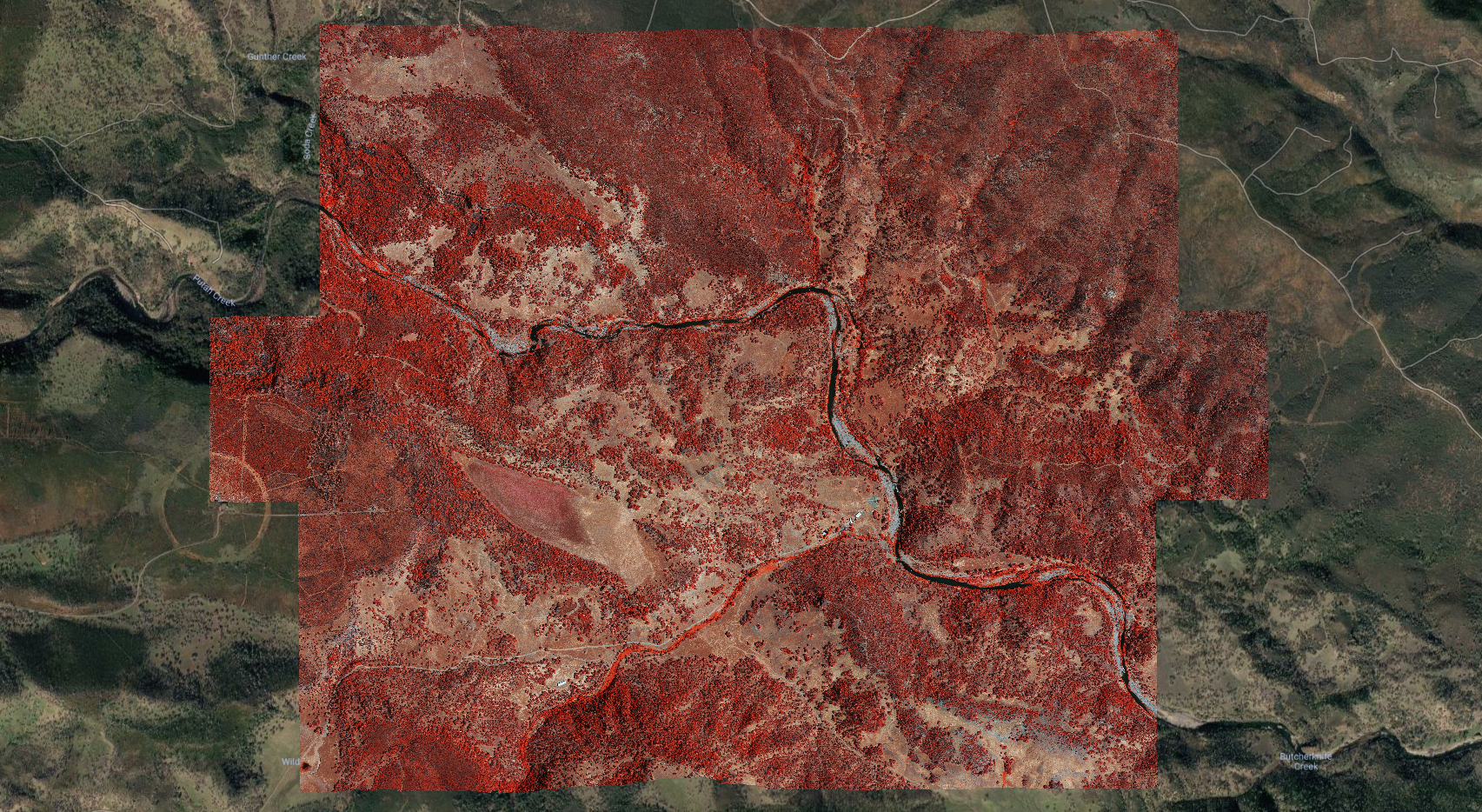
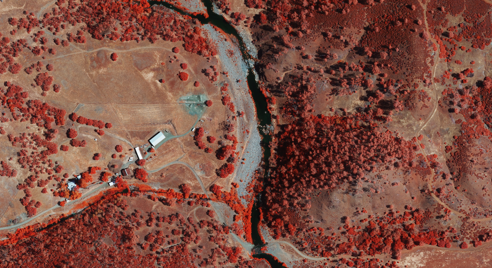
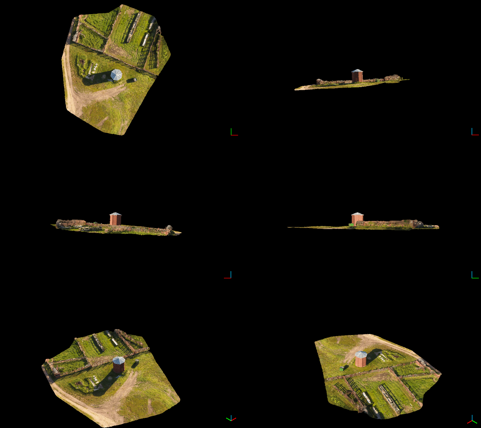
DroneMapper Rapid and Remote Expert Version 20190218 has been released. Please download the latest version here. This release has full support for multi-spectral tif input and output. RGBN 8bit/18bit, RGB+n(bands), Single Band 8bit/16bit tif/Thermal/Hyperspectral. Example imagery shown is 22 frames from a Vexcel UltraCam Falcon Prime (RGBN). See the full change log below:
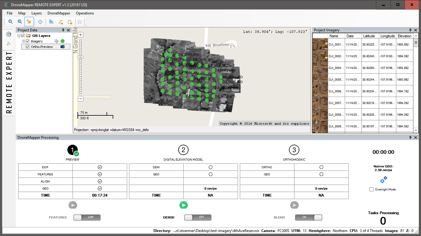
DroneMapper Rapid and Remote Expert Version 20181120 has been released. Please download the latest version here. This release has the latest UI modifications, back-end API performance enhancements and features. See the full change log below:
New orthomosaic functionality, multi-threading (BETA)
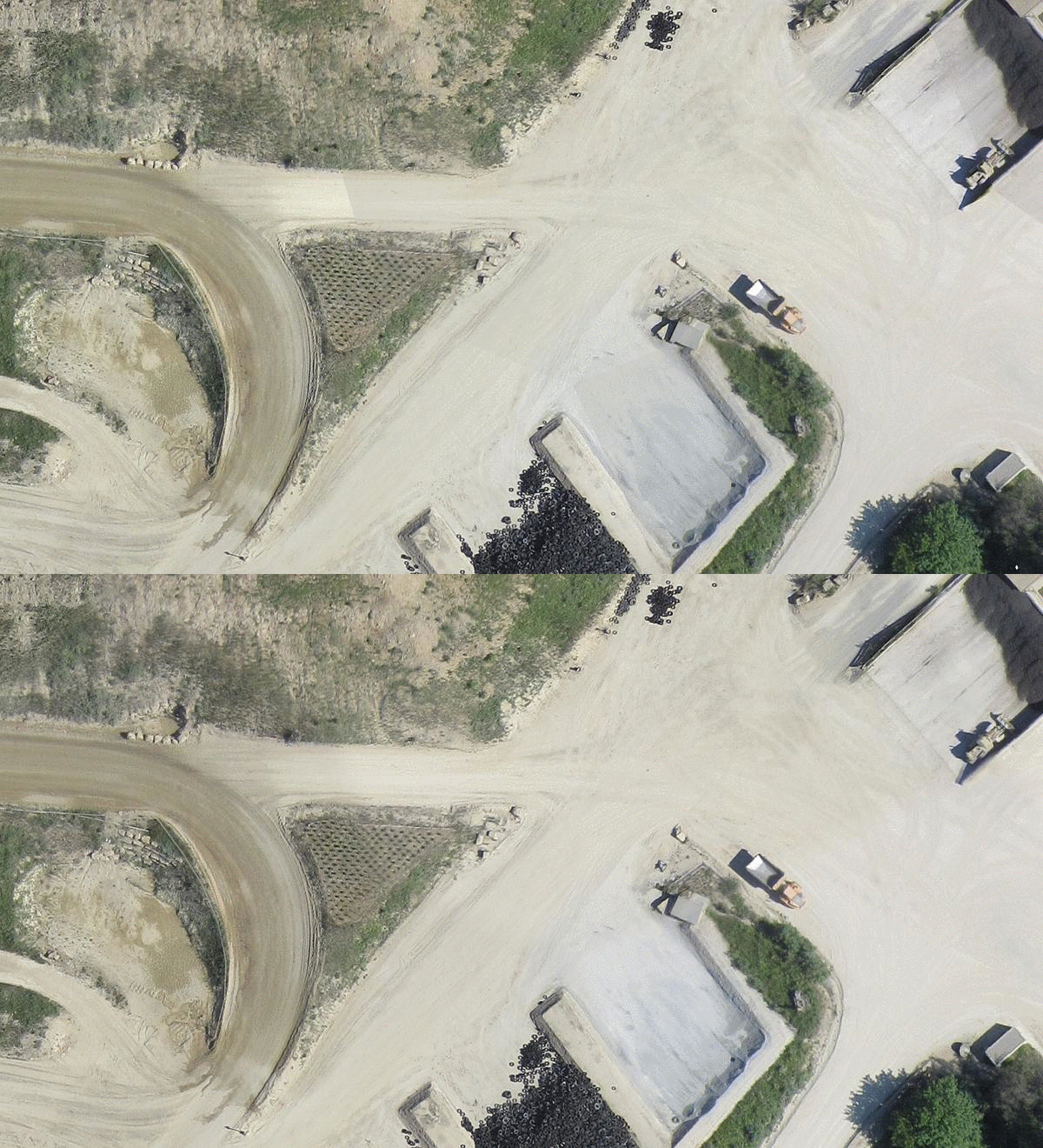
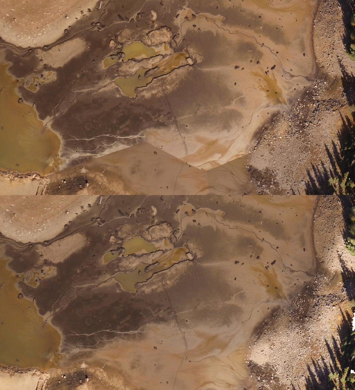
Orthomosaic seamline feathering (BETA)
Alternate initial tie-point computation by image center distance to neighbors
Added functionality to compute DEM / Ortho at native resolution
Various bug fixes and API updates
UI improvements and updates
New real-time API log viewer window
Updated/improved 3D textured mesh creation
Improvements/simplification of mask creation tool
Generate undistorted TIF images based on aerial triangulation results
DroneMapper is very pleased to announce that it has been selected as one of the ten finalists for the Hyperspace Challenge 2018 - Data Analytics competition. Please see the following link for more details on the ten companies selected to participate:
The goal of the challenge is to connect start-up companies with cutting edge technologies and defense users in order to address and solve some of the warfighter's pressing problems. Problem statements included:
Remote estimation of forest density for mobility analysis,
Automated electrical utility change detection,
On-demand geo-spatial data for Target Audience Analysis,
Remote assessment of infrastructure conditions,
Rotorcraft automated identification of terrain and obstacles in visually degraded environments.
The challenge will culminate the week of November 13-16, 2018 in Albuquerque, NM. There, the companies invited and the defense users will meet, discuss the problems and formulate solutions. We hope to bring our experience and expertise in image processing to help solve these problems.
Full hands on training and support (4 hours) - $500
DroneMapper also provides end-to-end support including: mission planning and execution, camera set up, control placement and generation of application specific products (contours, volumetrics, planimetrics, DTMs, etc.) using GIS software (Global Mapper).
NEW FEATURES:
New Orthomosaic functionality, multi-threading (BETA)