Delta County Teen Tech Week

JP Uncategorized


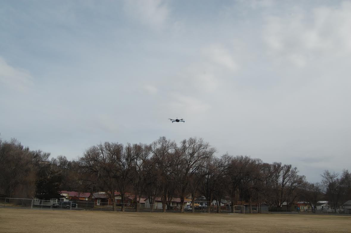
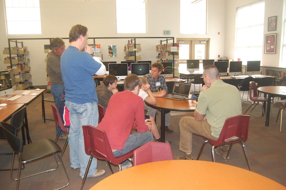
DroneMapper had the pleasure of supporting Delta County Teen Tech week on March 13, 2014, in discussions on drone technology, the various commercial applications drones support and flight demonstration. In the second photo JP and Joshua Ott are discussing the various drone technologies and how very useful information can be derived when the drone is outfitted with a camera. The first photo shows 3-D Robotic’s IRIS in flight piloted by Joshua. As you can imagine the live demo was the highlight of the day!


We would like to extend a very special thank you to both 3-D Robotics for the use of their drone and Joshua Ott for taking the time and effort to support the demo. A set of very special teens are now thinking of what can be.

The DroneMapper Team

Pravia, LLC – NDVI Calibration

JP Uncategorized


The future of farming promises incorporation of novel technologies to generate actionable information that is both affordable and timely. Even small improvements in crop yields can mean significant dollars to the farmer and reduced costs to the consumer. Incorporation of unmanned systems for data collection, value-added algorithms for crop phenomenology, cloud processing and user friendly data exploitation and warehousing are examples of the technologies supporting precision agriculture.

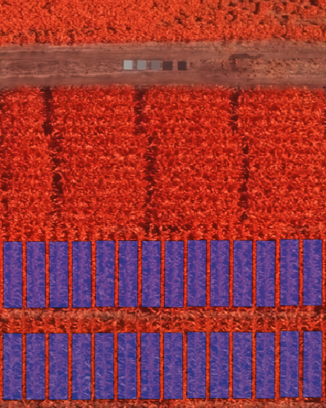
DroneMapper is very pleased to announce it has teamed with Pravia, LLC in generating geo-referenced and radiometrically corrected Normalized Difference Vegetation Index (NDVI) crop maps. NDVIs utilize the near infrared and visible bands to measure “green-ness” of a crop and can be used to identify crop stress. Not only will these maps be accurately geo-referenced but the radiometric correction will allow temporal comparison of the scene for meaningful change detection. A farmer may choose to over-fly the field on a more frequent basis, compare the NDVIs, detect trends in the field and take action.

If you need timely turn-around (< 2 days or better) and very affordable pricing for your NDVIs, please do not hesitate to contact Pravia, LLC and/or DroneMapper for more information on this exciting development.

The Pravia/DroneMapper Team

DN2K, LLC – MyAgCentral.com

JP Uncategorized


DroneMapper is very pleased to announce a collaboration with DN2K and its partners in the development of value-added products for the precision agriculture market utilizing a combination of ground-based and aerial data collections.

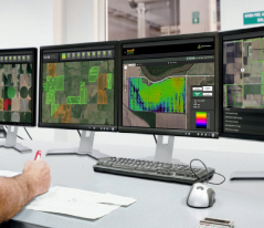
DN2K operates a unique service called MyAgCentral (shown in the illustration), a subscription-based service for growers, retailers and service providers that offers precision agricultural data and integration to key software products for managing farms. Examples of data sets include heatmaps that graphically show key farming parameters such as: crop yield, fertilizer application, ground moisture, variable rate irrigation (VRI) and Normalized Difference Vegetation Index (NDVI). DroneMapper provides support to DN2K for terrestrial data visualization and processes geo-referenced orthos in the near infrared along with corresponding NDVI maps of the crop.

Please do not hesitate to contact DN2K (dn2k.com) and/or DroneMapper (dronemapper.com) for more detailed information and how we can support your precision farming needs.

DN2K/MyAgCentral UAS Press Release – March 5th, 2014

New DroneMapper Imagery QA/QC Tools

JP Uncategorized


We’ve implemented some basic data collection quality assurance and quality control tools inside the DroneMapper web interface. For each flight uploaded, we now generate an image footprint polygon layer. The polygons are oriented by obtaining the bearing between Latitude and Longitude points along the flight line, the size of the polygon is computed using the ground sample distance (GSD), sensor size and image size. The intention is to give you an idea of the overlap and imagery coverage over the area of interest, clearly showing large holes or gaps in the flight data collection. Other additions include basic EXIF geo-tag sanity checks such as unique Latitude and Longitude, consistent focal length, shutter speed / exposure time and missing altitude tags.

QA/QC Checks:
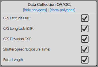
Image Footprint Polygons:
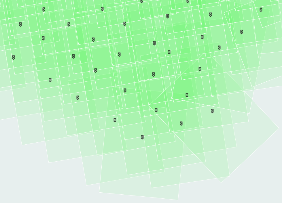
The image below represents an ideal data collection courtesy of Morgan from New Zealand. The flight is over mountainous terrain and has large areas of homogeneous ground cover. The image footprint polygons are visible and highlight the overall quality of the data collection. Morgan provides some additional information, and tips for other operators:
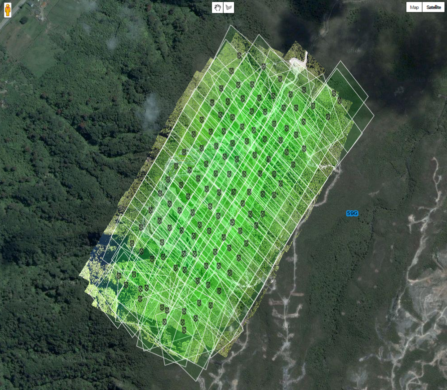

“If people ask you for tips and you don’t already know the following then feel free to tell them that flight was at 75% overlap, flown into and with the wind (so I got less crabbing of the air frame). I also triggered the camera based on distance, not time, so shot spacing was consistent. I also set the camera to program mode (not auto), set my (White Balance) WB to cloud or sunny (not auto) and ensure my shutter speed is above 1/1200. Camera is a SX260HS loaded with a CHDK script Jeff Taylor made – here’s a link: http://diydrones.com/profiles/blogs/apm-to-chdk-camera-link-tutorial” –Morgan