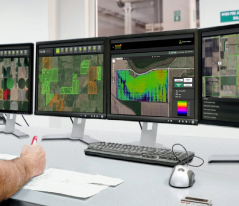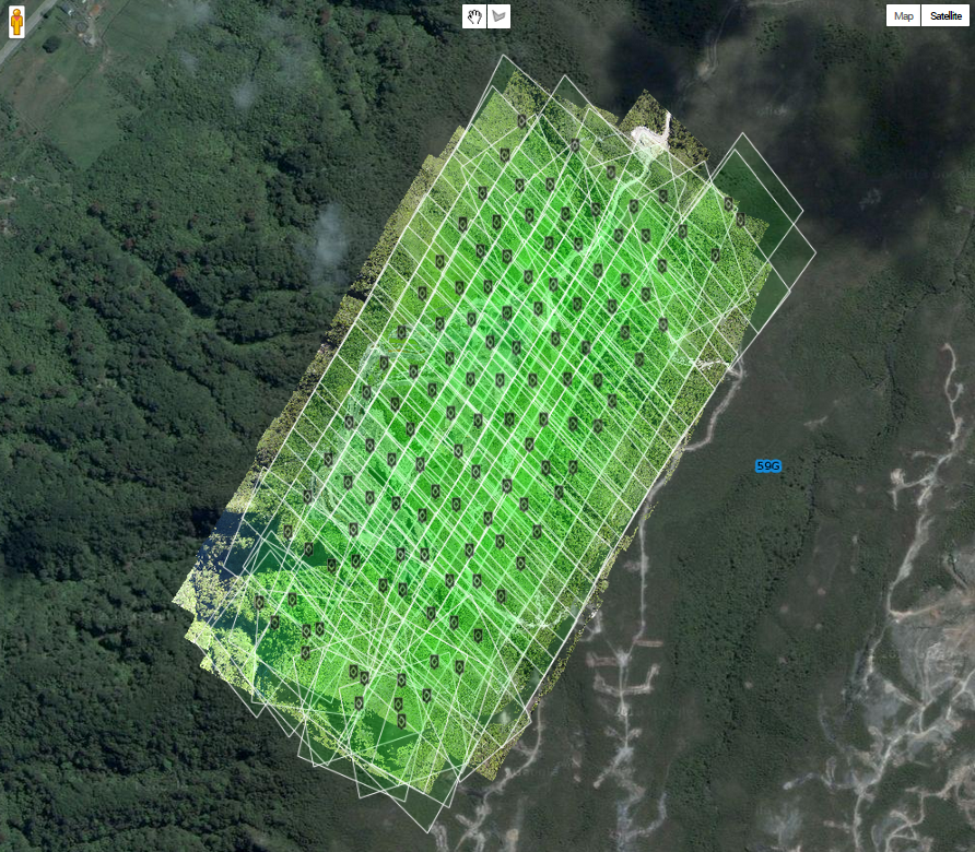
The future of farming promises incorporation of novel technologies to generate actionable information that is both affordable and timely. Even small improvements in crop yields can mean significant dollars to the farmer and reduced costs to the consumer. Incorporation of unmanned systems for data collection, value-added algorithms for crop phenomenology, cloud processing and user friendly data exploitation and warehousing are examples of the technologies supporting precision agriculture.
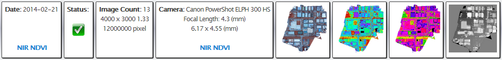
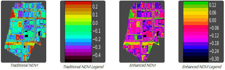
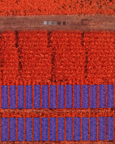
DroneMapper is very pleased to announce it has teamed with Pravia, LLC in generating geo-referenced and radiometrically corrected Normalized Difference Vegetation Index (NDVI) crop maps. NDVIs utilize the near infrared and visible bands to measure “green-ness” of a crop and can be used to identify crop stress. Not only will these maps be accurately geo-referenced but the radiometric correction will allow temporal comparison of the scene for meaningful change detection. A farmer may choose to over-fly the field on a more frequent basis, compare the NDVIs, detect trends in the field and take action.
If you need timely turn-around (< 2 days or better) and very affordable pricing for your NDVIs, please do not hesitate to contact Pravia, LLC and/or DroneMapper for more information on this exciting development.
The Pravia/DroneMapper Team