How To Generate a Ground Control Point (GCP) Report with Elevation RMSE
Once photogrammetric processing has completed, the digital elevation model and orthomosaic are available.
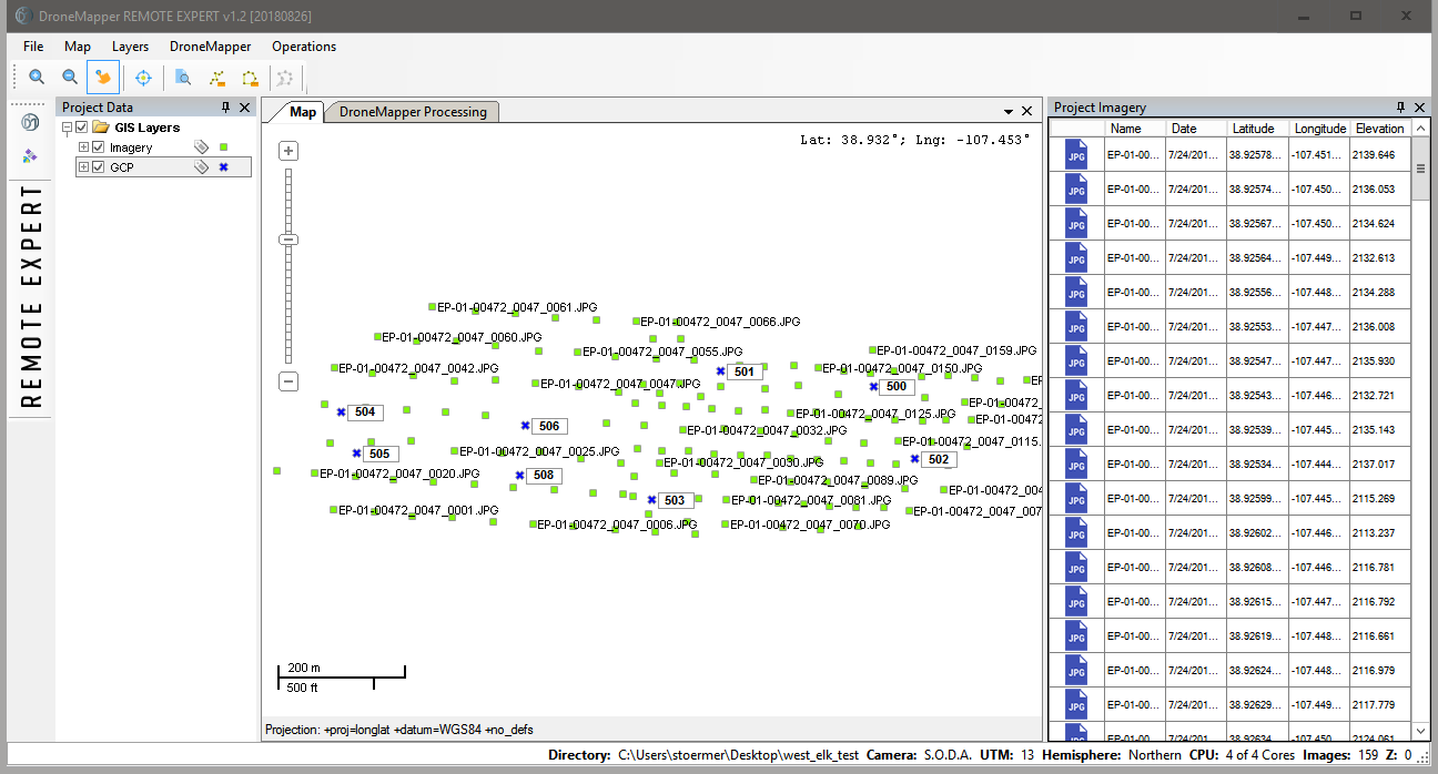
Processing should be completed using GCP in order to generate this report. Below is an example set of imagery and associated GCP displayed on the map screen.
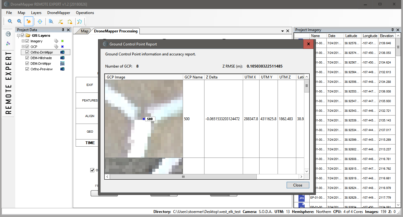
After processing has completed, navigate to the “Operations” menu and choose “GCP Report”. You will be presented with the following dialog box:
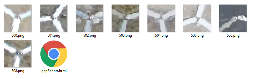
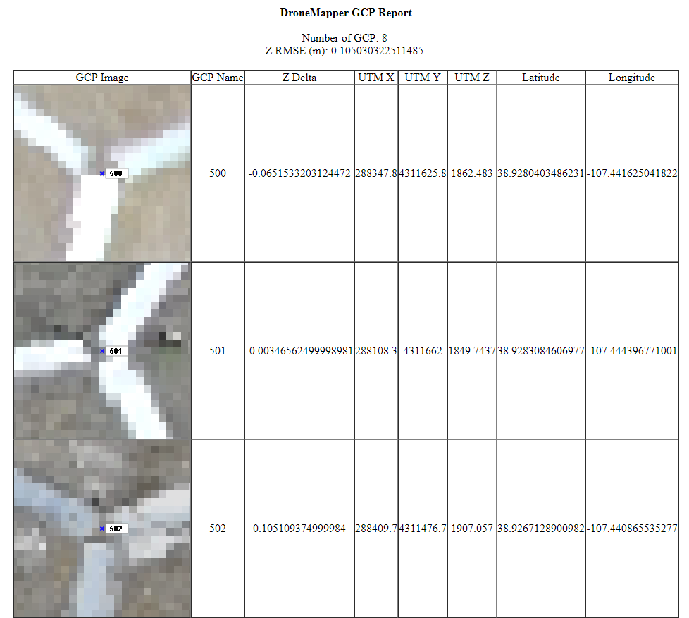
The GCP report calculates the RMSE elevation error for all GCP points. It also allows the operator to visually inspect each GCP point with the Orthomosaic as a base layer. A HTML version of this report is also created and available in the “Reports\GCP” folder inside the project directory: