How To Generate Cut/Fill/Volume and/or Pile Volumetrics from Digital Elevation Model using DroneMapper
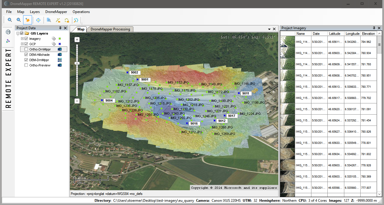
Once photogrammetric processing has completed, the digital elevation model will be available.
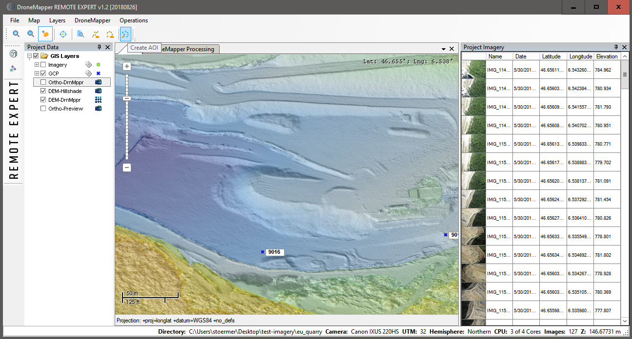
You can select an Area of Interest (AOI) using either the Digital Elevation Model or the Orthomosaic layer. Navigate to the “Create AOI” tool and click to begin drawing your AOI.
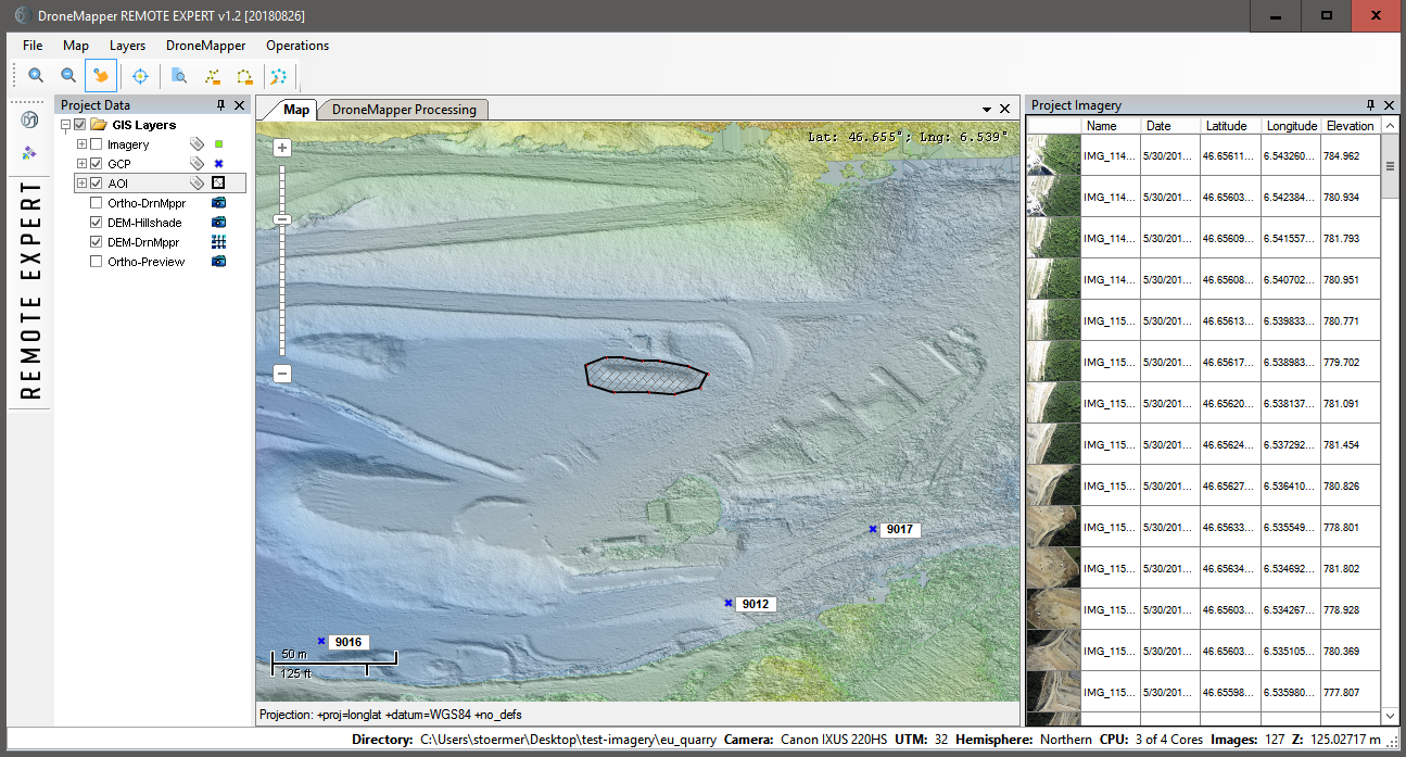
Using the “Left” mouse button, click each point to draw a polygon around the AOI. To close the polygon and stop drawing click the “Right” mouse button. The newly created AOI will look similar to the graphic below:
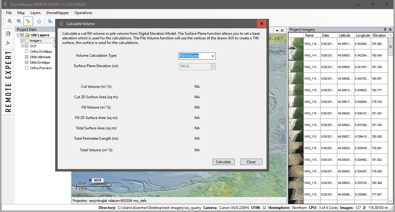
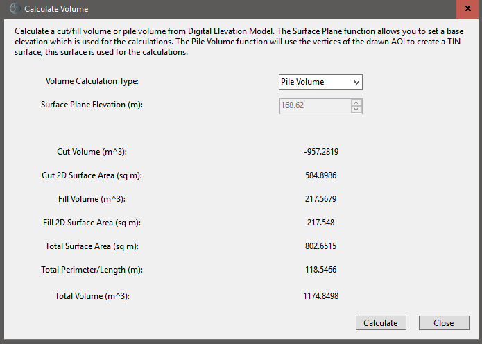
Once you have completed the creation of a new AOI, it is saved as a temporary shapefile and you can proceed to the volume calculation. Navigate to the “Operations” menu and choose “Calculate Volume”. You are presented with the following options and dialog box: The volume calculations happen in two different ways: Surface Plane and Pile Volume.
The surface plane calculations use a fixed elevation surface as a base. The pile volume feature generates a new surface and interpolates the elevations under the pile based on the vertices created during the AOI creation.
Here I have picked “Pile Volume” and once the calculations are completed, results are shown in the dialog: