Lian Pin Koh and Serge Wich are doing some really interesting work with Drones. They have created a non profit organization called Conservation Drones (conservationdrones.org) with a mission to develop low-cost tools for conservation and research workers in developing countries! Here is a bit more in their own words:
“Conservation Drones are inexpensive, autonomous and operator-friendly unmanned aerial vehicles for surveying and mapping forests and biodiversity. Non-technical operators can program each mission by defining waypoints along a flight path using an open-source software.”
“We believe that Conservation Drones have great potential for environmental and conservation applications, which include near real-time mapping of local land cover, monitoring of illegal forest activities, and surveying of large animal species.”
See the screenshots below of an Orangutan nest photograpped in 2D using a Conservation Drones UAV. DroneMapper processed this imagery into an orthomosaic scene, digital elevation model, digital surface model and 3D Point Cloud (3D Model). The flight contained 18 NADIR images obtained with a Canon Powershot SX230 HS at an elevation of 80m above jungle canopy.
We look forward to our work with Lian and Serge in the future!
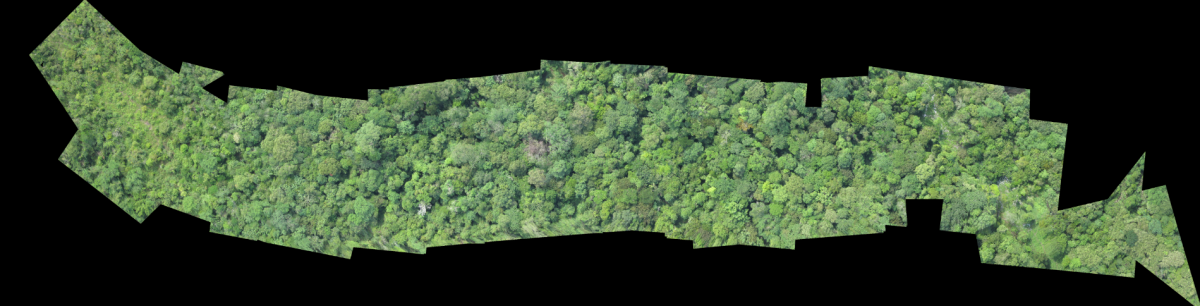
Full Orthomosaic
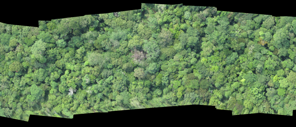
Orthomosaic – Nest Close
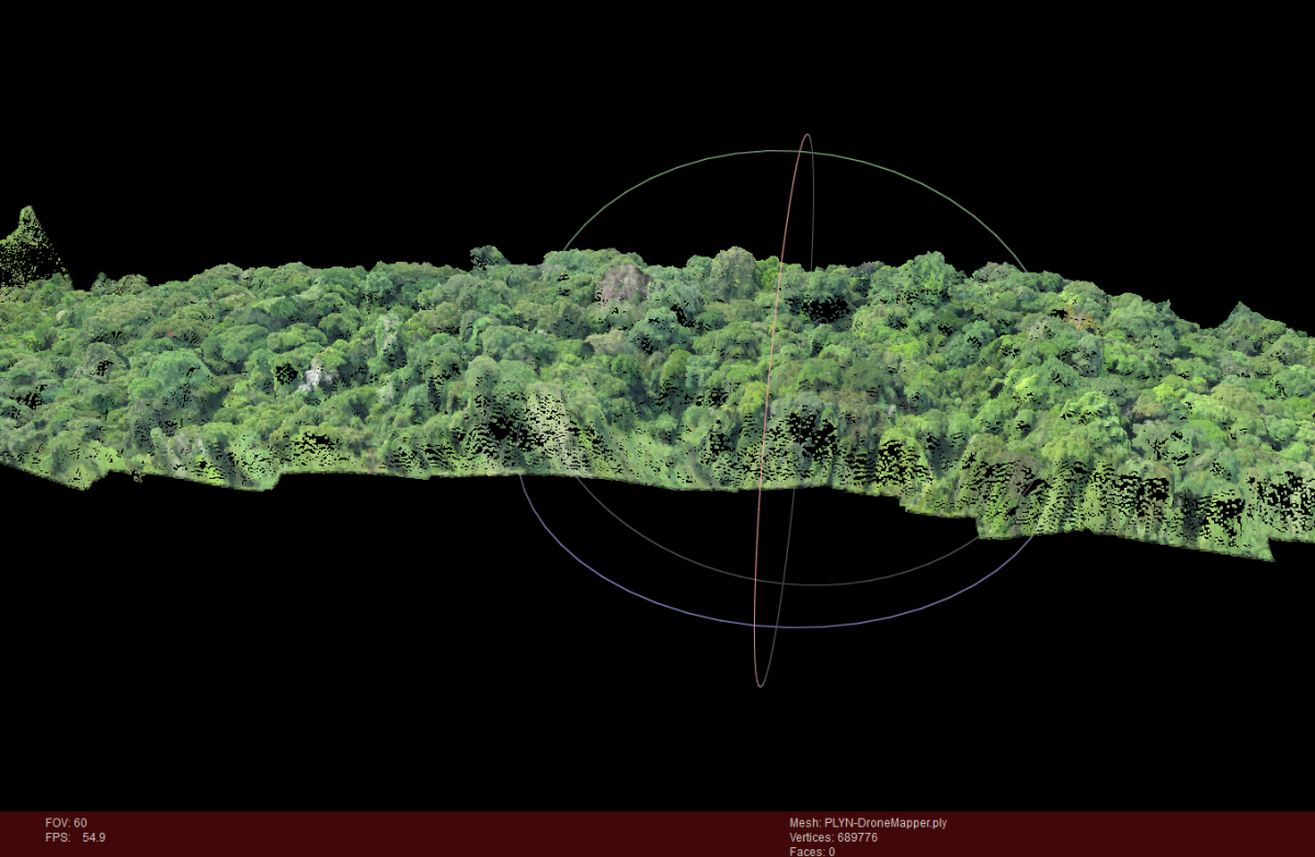
3D Point Cloud / PLY in Meshlab.