An interesting dataset from Gatewing UAV. Small section from Easter Island, 140 images in total. 30cm GSD.
![]()
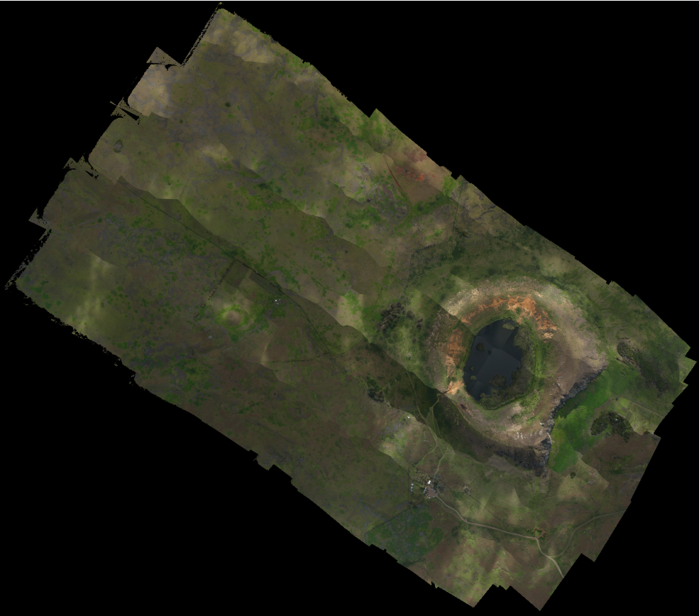
Geo-Referenced Orthomosaic of Easter Island (section)
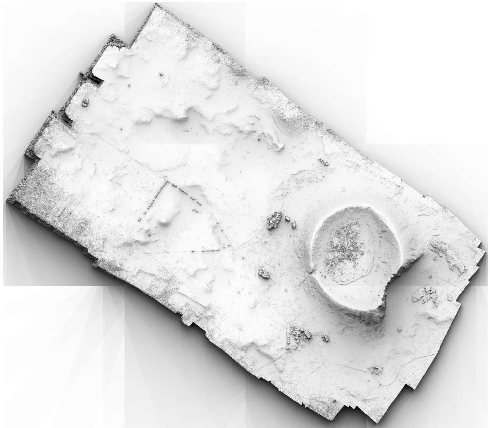
Geo-Referenced Digital Surface Model
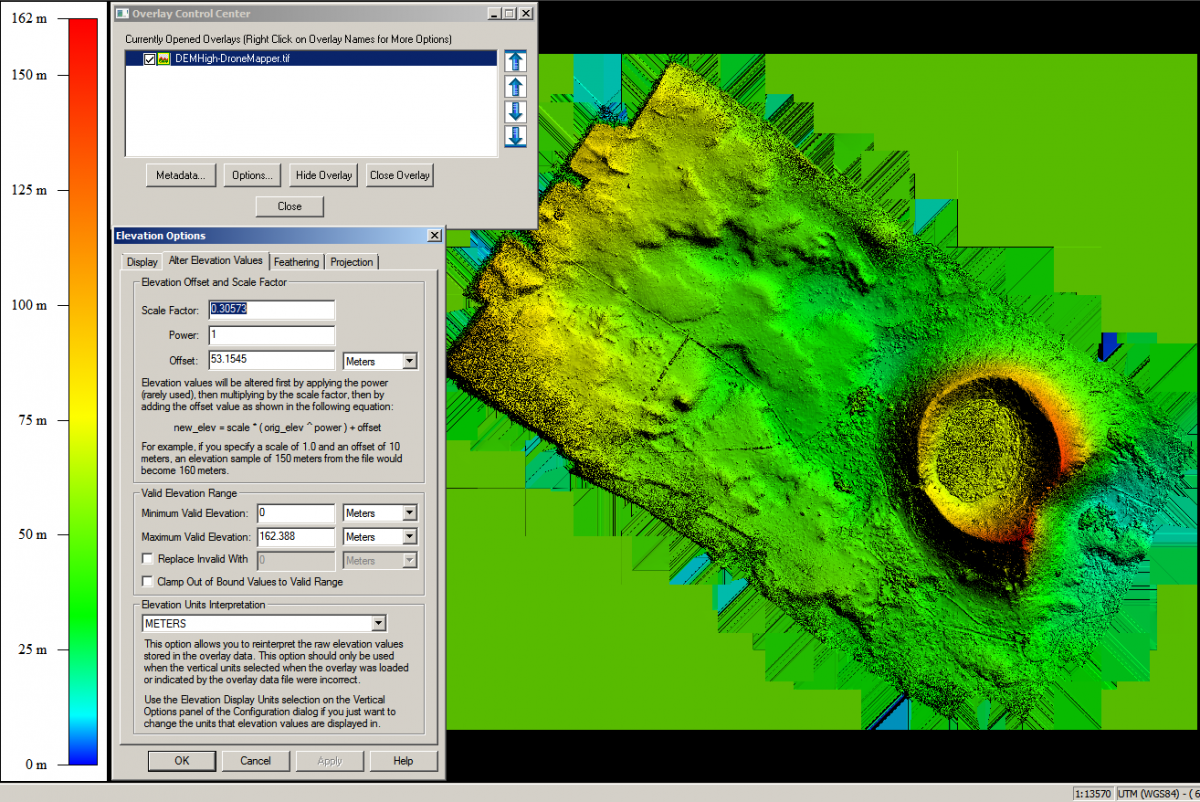
Geo-Referenced DEM Viewed w/ Global Mapper – 30cm UTM WGS84 12J Southern Hemisphere
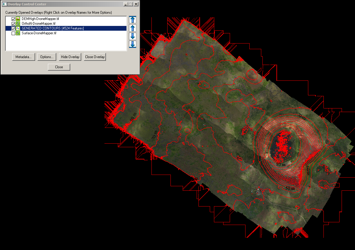
Contour Line Generation Every 10 Meters w/ Ortho and DEM Layers (Global Mapper)
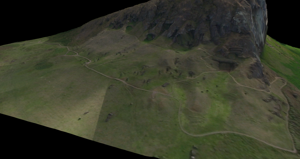
Geo-Referenced 3D Model of Quarry and Moai Statues at Rano Raraku Lake, Easter Island