The Pinery Country Club Project – Accuracy Reports

JP Uncategorized

November 15, 2012; The Pinery Project

In a collaboration between DroneMapper, Falcon UAV, CompassData, Inc. and The Pinery Country Club we collectively demonstrated accurate geo-spatial mapping (in 3 dimensions) of a reasonably large area using affordable technology – UAV, consumer camera and ground control. First, a little bit about our partners:

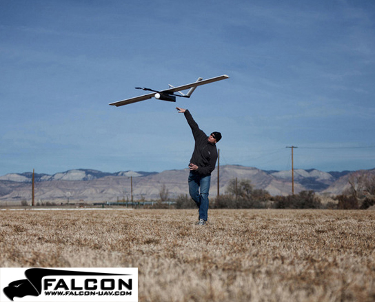
  • Falcon UAV  is a small unmanned aircraft designed to provide live aerial reconnaisance and airborne sensor capabilities to those who require a military grade system at a fraction of the cost. Capable of providing over an hour of endurance, day or night, the system provides public safety communites, research organizations, academia, and industry a professional hand launched UAV solution at an affordable price. For more information please visit – http://www.falcon-uav.com/
  • CompassData, Inc. provides the world's largest commercially available ground control data set – complete global coverage with 18,000 ground control points available for download. For more information please visit – http://compassdatainc.com/
  • The Pinery Country Club offers as one of its amenities a private 27 hole golf course in Parker, Colorado. Management at the Pinery was very gracious in allowing us to collect imagery over their property. In addition, the property contained 15 precision (5 or 30 cm absolute position) ground control points that were used for data processing and accuracy quality verifications. For more information please visit – http://www.thepinerycc.com/club/scripts/home/home.asp

This ortho shows the Pinery CC area of interest and the ground control that was mapped by Falcon in a 1 hour flyover. The area covered was approximately 3.4 Km^2 @ 13 cm GSD.


Falcon being hand launched.


Typical ground control point being surveyed.


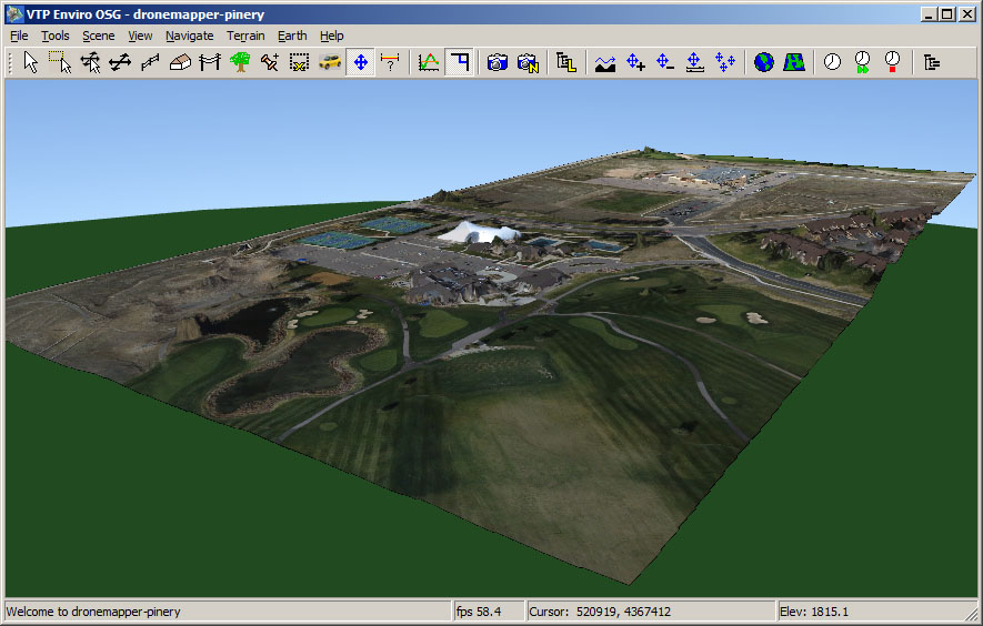
Pinery ortho detail.

3 digital elevation models (example shown above) were constructed using 1) only camera GPS tags, 2) only Falcon flight log GPS tags and 3) 6 ground control points. For cases 1) and 2) all 15 GCPs were used for accuracy evaluation. In case 3) 9 GCPs were used for QA evaluation. The table below shows the Root Mean Square Error in meters and the Circular Error at a probability of 90% for each of the 3 cases. 

Values below represent absolute accuracy for this data set.

Test Case RMSE X (m) RMSE Y (m) RMSE Z (m) CE90 (m)
1 – Camera Tags 8.4 6.7 27.6 14
2 – Falcon Tags 4.5 9.2 27.7 6.4
3 – 6 GCP 0.17 0.18 1.9 0.35


Contact us for the full accuracy reports from CompassData, Inc.

DroneMapper Free Trial Period Ends October 26th, 2012

JP Uncategorized Leave a Comment

On October 26th, 2012 DroneMapper will cease the free trial period (< 25 images), offered for the last 6 months. Beta testing has been completed and orthomosaic/DEM processing capabilities demonstrated. Our imagery processing service will charge to the following schedule:

< 1 sq. Km area – $20,
> 1 sq. Km to < 2 sq. Km – $40,
$20 per sq. Km thereafter.

Prices are USD, payment is possible via invoice, paypal, or credit card via paypal.

The schedule rates assume 10-12 Megapixel imagery formats with ground sample distance of 5-10 cm. If you have imagery you would like to have processed at larger formats and/or better resolution please contact us. Thank you!

Skydrones Brazil Partnership Announcement

JP Uncategorized


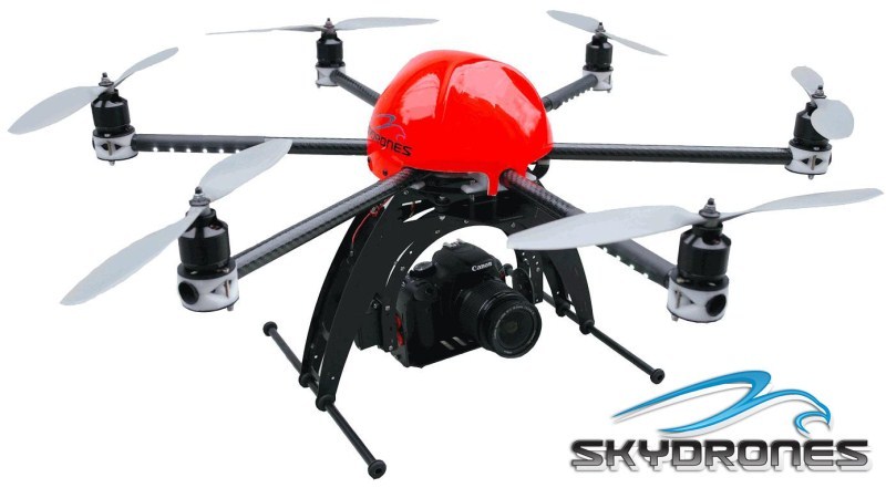
We are very pleased to announce that we have teamed with Ulf Bogdawa and Carlos Hennig of Skydrones in Brazil. Skydrones provides full service UAV design, development, manufacturing and operations training to the Brazilian commercial and civil markets. With this partnership, Skydrones will be the exclusive source of our image processing in Brazil.

"A SkyDrones tronou-se parceiro comercial exclusivo no Brasil da empresa Dronemapper. A Dronemapper (www.dronemapper.com) processa conjunto de imagens aéreas para produzir mapas georeferenciados e mapas de superfície digitais (DSM). Estes mapas são utilizados para documentação de construções, IPTU, reflorestamento, cadastro de áreas de risco, cálculo de volumes e dados para estudos de enchentes entre muitos outros usos. É possível fazer o upload de até 15 imagens para que sejam processadas sem custo. O serviço é interessante pois o cliente não precisa comprar um software para processar as imagens. Basta fazer o upload do conjunto de imagens e uma cotação será enviada. Após o pagamento via PayPal do serviço, será feito o processamento das imagens e a entrega dos arquivos processados. Um site está em construção para dar suporte ao cliente Brasiliero com instruções e exemplos (www.dronemapper.com.br)."

Top Ten Denver OED Jumpstart Biz Plan Awards!

JP Uncategorized


DroneMapper has just been notified by the city of Denver, Colorado that is has been selected as a top-10 finalist in a business competition called "JumpStart, Biz 2012". The competition looks for innovative business ideas that can contribute to the growth and health of Denver, CO. 150 applicants submitted their ideas during the first phase. The second phase – more in depth evaluation of business plans occurs for the next 2-3 weeks with the finalist announced in late October. First prize is $50,000, one year of office space in Denver, CO, and business mentoring. We look forward to attending the JumpStart Biz Plan Awards events and Startup Week Denver. For more information please visit the Denver OED website at the following link: more..

Fly Through 3D Digital Forest Orangutan Nest

JP Uncategorized

3D forest model of a transect in Sumatra, Indonesia, based on aerial images acquired by Conservation Drones. Animation by Ervine Lin of ETH Future Cities Laboratory (futurecities.ethz.ch). Please visit ConservationDrones.org for more information.