Pierre Stoermer, CEO – DroneMapper.com
Come join us for a 1-day interactive session and hands-on demonstrations of how to dial in your DJI platform for producing precision maps and valuable products for engineering, construction, mining, surveying and agricultural markets, amongst others. The session will be held in the town of Eckert (located on Hwy 65) on the south side of the beautiful Grand Mesa in Western Colorado. The fee for participants as well as the timing of the session in 2016 will be determined from responses to this post.
| | |
| | |
Envisioned Agenda (subject to participant's desires):
Introductions (8:00 to 8:15) –
Autonomous mission planning and execution (8:15 to 9:00) –
What applications? – DJI Go, DroneDeploy, MapPilot, Litchi, others
Area of Interest, Safety, Hazards, Weather, Platform capability
Ground Control?
Considerations for remote places
Platform set-up (9:00 to 9:15) –
Pre-mission checklist
Camera set-up and verification
At the Site (9:15 to 9:45) –
Pre-flight checklist
Ground control, imagery targets and surveying?
Flight operations
Hazard bail-out
Post flight imagery quality assurance – DM QA/GCP tool, Geosetter
Abobe Buttes Mapping Flight (9:45 to 11:30) (weather permitting)
Lunch and discussion (11:45 to 12:45)
Imagery Processing (1:00 to 1:45)-
Do you really need the resolution you collected?
Control pre-processing
Rapid processing
Native resolution processing
File sizes – area and GSD
Post-processing – Global Mapper (1:45 to 2:30)
Visualization and analytics
Coordinate transformations
Exporting to CAD drawing formats
Abobe Buttes 3-D Modeling Flight (2:45 to 4:00) (weather permitting)
Open discussion (4:00 to 5:00)
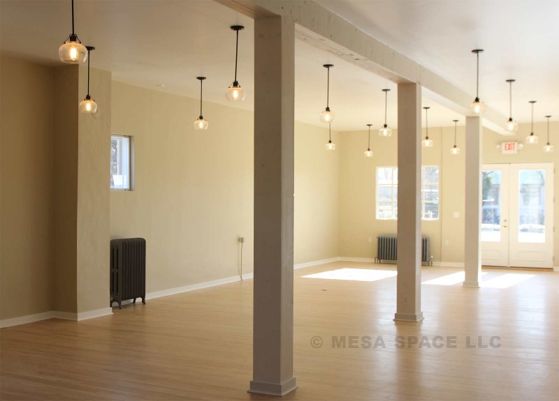
Class sessions will be held within the Mesa Space office building next to the Drost chocolate factory in Eckert. The Adobe Buttes area just north of Delta, CO, about 10 minutes from Eckert, will be used for mapping and 3-D modeling flight demonstrations. The Adobe's offer some very interesting topography, almost moon-like. You are welcome to bring your own DJI platform for complete set-up and participate in the autonomous collections.
If you have interest in the session please send Pierre an e-mail stating so (pierre@dronemapper.com), other session topics you would be interested in and the time frame you could attend. Thank you for your interest and feedback!
 |  |
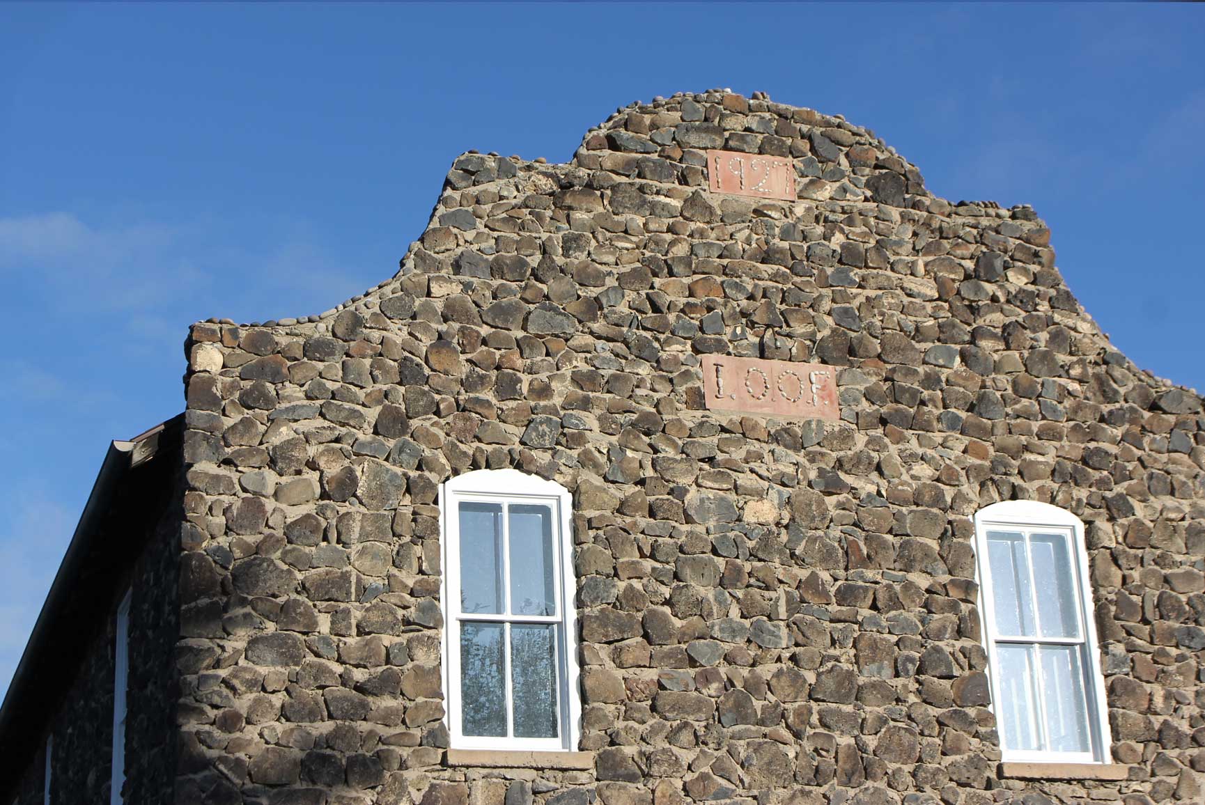
| Mesa Space located in Eckert, Colorado | MesaSpace.org |
