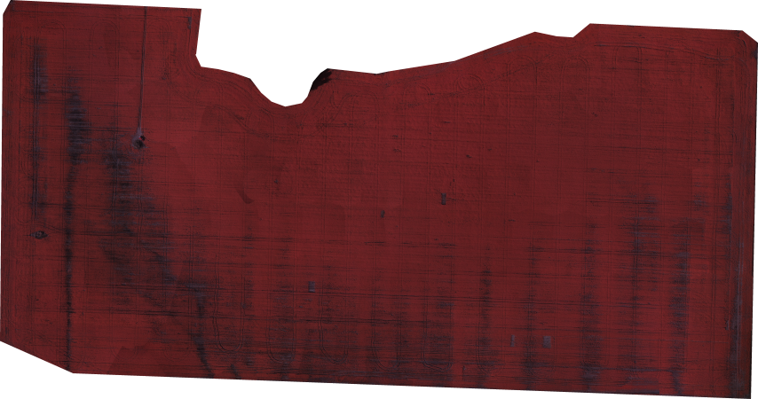
Precision Agriculture and Remote Sensing using UAV aerial imagery is a hot topic of discussion. The amount of valuable information a grower or farmer can obtain at low cost and high resolution can increase crop yield, help determine problem areas, and save time. Geo-referenced aerial imagery in the NIR (near-infrared) band allows precise location of problem areas and the generation of vegetation spectral index maps like the examples below. Multiple data collections over a period of time are very useful for trend and change detection applications. The field below was imaged using an AgEagle UAV platform and a NIR converted maxmax.com Canon SX260HS sensor. The geo-tagged imagery (~225 images @ 12 megapixel) is processed by DroneMapper into a radiometrically equalized geo-referenced Orthomosaic map and Digital Elevation Model (DEM).
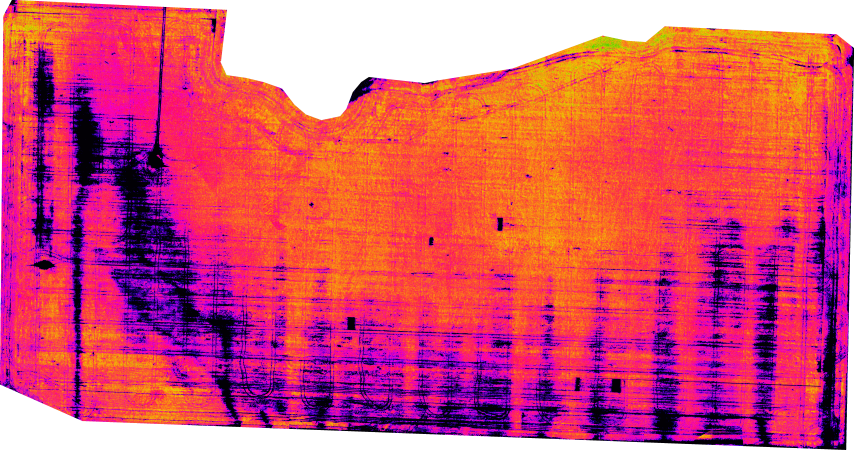
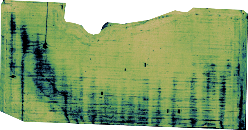
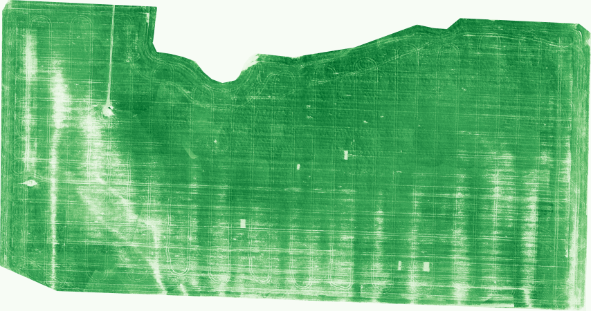
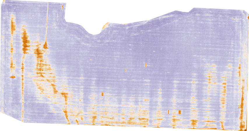
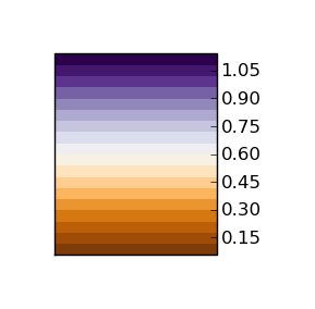
The examples below show various spectral index maps generated from the geo-referenced Orthomosaic at 4 cm per pixel Ground Sample Distance (GSD).
NIR Geo-Referenced Orthomosaic
 |
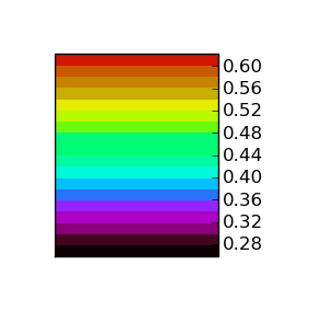
NDVI, Normalized Difference Vegetation Index (maxmax.com) = (NIR – Blue) / (NIR + Blue)
 |  |
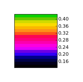
ENDVI, Enhanced Normalized Difference Vegetation Index (maxmax.com) = ((NIR + Green) – (2*Blue) / ((NIR + Green) + 2*Blue))
 |  |
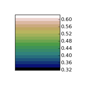
GNDVI, Green Normalized Difference Vegetation Index (Buschmann and Nagel, 1993) = (NIR – Green) / (NIR + Green)
 |  |
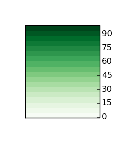
GDVI, Green Difference Vegetation Index (Sripada et al., 2006) = NIR – Green
 |  |
GIPVI, Infrared Percentage Vegetation Index = NIR / (NIR + Green)
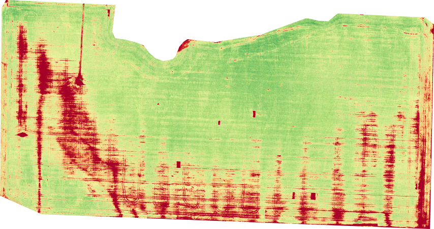 | 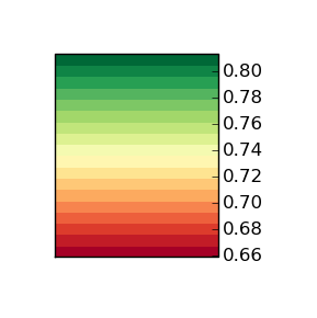 |
GRVI, Green Ratio Vegetation Index (Sripada et al., 2006) = NIR / Green
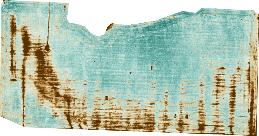 | 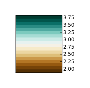 |
GSAVI, Green Soil Adjusted Vegetation Index (Sripada et al., 2006) = [(NIR – Green) / (NIR + Green +L)] * (1 + L), where L = 0.5
 |  |
References:
* Buschmann, C., and E. Nagel. 1993. In vivo spectroscopy and internal optics of leaves as basis for remote sensing of vegetation. International Journal of Remote Sensing 14:711–722
* Sripada, R.P., Heiniger, R.W., White, J.G., and A.D. Meijer. 2006. Aerial color infrared photography for determining early in-season nitrogen requirements in corn. Agronomy Journal 98: 968-977 etd.pdf
* NDVI History: maxmax.com, ndv_historyi.htm
* Original NIR Aerial imagery courtesy DN2K/MyAgCentral and AgEagle, processed by DroneMapper
